

Singelgracht
Europe,
Netherlands,
Amsterdam, citta,
Centrum
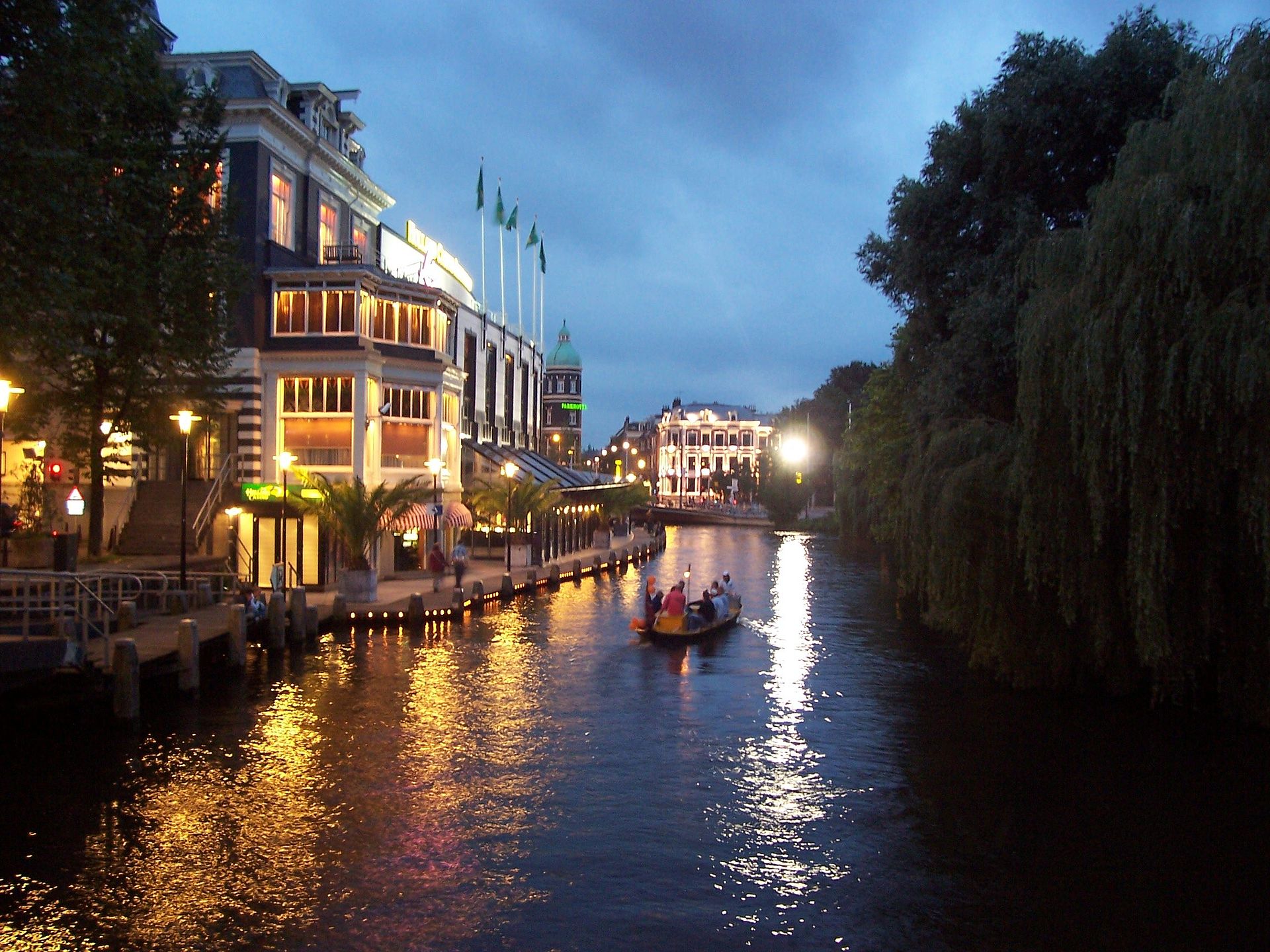
The Singelgracht, often confused with the more well-known Singel, is one of the key components of Amsterdam’s canal system and represents the outer boundary of the city’s historic urban area. Originally built in the 17th century, during the so-called Dutch “Golden Age,” the Singelgracht served as an outer defense line, encircling the entire city center and marking the limit of urban expansion until the end of the 19th century.
The canal was created as part of the large urban expansion that took shape around 1660, when Amsterdam was rapidly growing thanks to international trade. The main objective was to protect the city with a system of fortifications that also included bastions (or bolwerken) and several windmills built along the perimeter. These windmills had a dual function: they served not only to grind grain but also to pump water out of the drained lands, helping to keep the surrounding areas dry.Over time, the defensive function of the Singelgracht became less relevant, and the canal assumed a more symbolic and functional role in the urban landscape. Population growth and economic development pushed the city to expand beyond these limits. In the late 19th century, the walls were demolished, and the adjacent areas were redeveloped to accommodate new roads and buildings. This transformation led to the construction of important arteries such as Marnixstraat, Weteringschans, and Sarphatistraat, which partly follow the original course of the canal.The importance of the Singelgracht goes beyond its historical function. It is part of the Amsterdam canal area declared a UNESCO World Heritage Site in 2010. This recognition underscores the importance of the canal as an exceptional example of urban planning and hydraulic engineering, a model of urban planning that has influenced the development of many other cities around the world. The area is characterized by a network of concentric canals, gabled houses, and numerous historic buildings, all elements that reflect the city’s prosperity in the 17th century.The Singelgracht is also crossed by numerous bridges, some of which are movable bridges that facilitate the passage of boats. One of the most notable examples is the bridge at Willemspoort, which is part of the “route of the tall-masted ships,” a waterway used to connect the IJ to the Kattensloot and the Kostverlorenvaart.Over the centuries, the area along the Singelgracht has seen a series of transformations. During the 20th century, many of the 19th-century villas along the canal were demolished and replaced by modern buildings, including offices and residences. This evolution has created an interesting architectural mix that reflects the ongoing urban transformation of Amsterdam.
Read More
